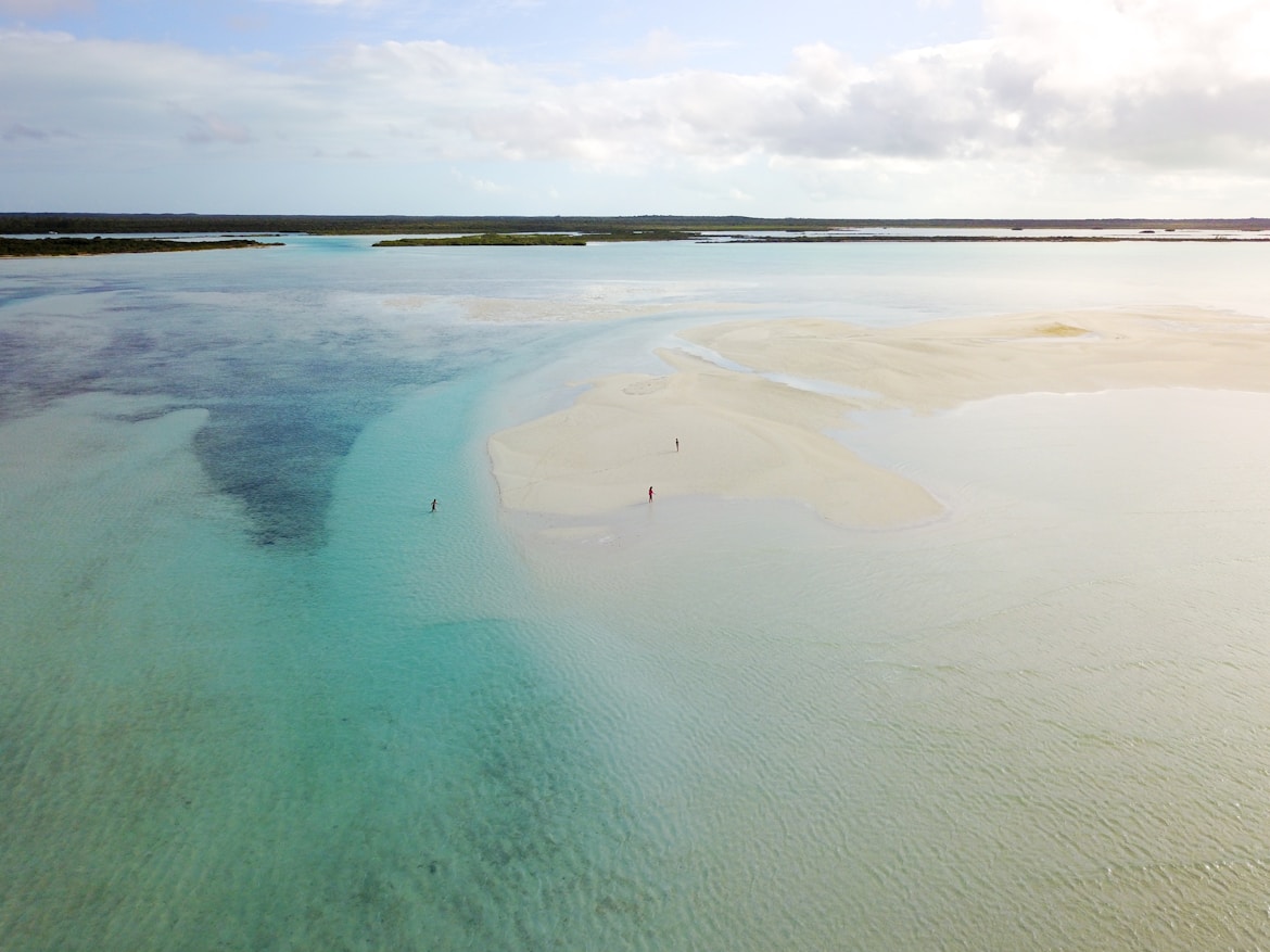
The Bahamas Climate
Climate Zone and Historical Climate Data
The Bahamas Climatic Classifications
| Code | Description | Group | Number of states/regions | States/regions |
|---|---|---|---|---|
| Aw | Tropical wet and dry or savanna | Tropical | 24 | Acklins Berry Islands Bimini Black Point Cat Island Central Abaco Central Andros Crooked Island Exuma Grand Cay Hope Town Inagua Long Island Mangrove Cay Mayaguana Moore's Island New Providence North Andros Ragged Island Rum Cay San Salvador South Abaco South Andros South Eleuthera |
| Am | Tropical monsoon | Tropical | 4 | City Of Freeport East Grand Bahama North Abaco West Grand Bahama |
| As | Tropical wet and dry or savanna ('summer' dry season) | Tropical | 4 | Central Eleuthera Harbour Island North Eleuthera Spanish Wells |
Summary: Most regions (24) in The Bahamas lie in the Tropical wet and dry or savanna climate zone (Köppen: Aw). The mean average of annual temperatures range from a high of 27.34°C (81.21°F) in Inagua to a low of 25.37°C (77.67°F) in West Grand Bahama.
Climate The Bahamas: Weather By Month
| Month | Jan | Feb | Mar | Apr | May | Jun | Jul | Aug | Sep | Nov | Oct | Dec | Year |
|---|---|---|---|---|---|---|---|---|---|---|---|---|---|
| Record high °C (°F) | 26.58(79.84) | 26.86(80.35) | 26.92(80.46) | 28.42(83.16) | 29.18(84.52) | 30.48(86.86) | 30.86(87.55) | 31.15(88.07) | 30.77(87.39) | 29.9(85.82) | 27.89(82.2) | 27.06(80.71) | 31.15(88.07) |
| Average high °C (°F) | 23.55(74.39) | 23.65(74.57) | 23.55(74.39) | 25.03(77.05) | 26.24(79.23) | 28.0(82.4) | 28.81(83.86) | 29.19(84.54) | 28.88(83.98) | 27.75(81.95) | 25.85(78.53) | 24.57(76.23) | 26.26(79.27) |
| Daily mean °C (°F) | 23.01(73.42) | 23.16(73.69) | 23.04(73.47) | 24.62(76.32) | 25.86(78.55) | 27.66(81.79) | 28.47(83.25) | 28.83(83.89) | 28.51(83.32) | 27.38(81.28) | 25.44(77.79) | 24.12(75.42) | 25.84(78.51) |
| Average low °C (°F) | 22.08(71.74) | 22.32(72.18) | 22.21(71.98) | 23.91(75.04) | 25.22(77.4) | 27.06(80.71) | 27.82(82.08) | 28.25(82.85) | 27.82(82.08) | 26.71(80.08) | 24.63(76.33) | 23.2(73.76) | 25.1(77.18) |
| Record low °C (°F) | 20.01(68.02) | 21.14(70.05) | 21.37(70.47) | 23.39(74.1) | 24.87(76.77) | 26.05(78.89) | 26.48(79.66) | 26.75(80.15) | 26.38(79.48) | 25.77(78.39) | 23.51(74.32) | 21.75(71.15) | 20.01(68.02) |
| Average precipitation mm (inches) | 85.35(3.36) | 69.61(2.74) | 69.54(2.74) | 88.69(3.49) | 173.56(6.83) | 171.11(6.74) | 199.27(7.85) | 247.76(9.75) | 261.11(10.28) | 261.27(10.29) | 121.21(4.77) | 82.03(3.23) | 152.54(6.01) |
| Average precipitation days (≥ 1.0 mm) | 13.16 | 10.69 | 9.9 | 11.75 | 15.65 | 18.26 | 20.58 | 22.23 | 22.86 | 21.32 | 16.13 | 12.92 | 16.29 |
| Average relative humidity (%) | 74.26 | 75.42 | 73.3 | 76.45 | 77.07 | 77.79 | 76.45 | 75.91 | 75.03 | 75.41 | 74.31 | 74.96 | 75.53 |
| Mean monthly sunshine hours | 7.69 | 9.33 | 10.77 | 12.41 | 12.73 | 13.09 | 13.06 | 12.66 | 11.78 | 8.72 | 7.91 | 7.9 | 10.67 |
The Bahamas Climate Graph
The Bahamas’s Cities by Temperature
The Bahamas’s states/regions ranking by average yearly temperature:
| Inagua | 27.34°C | 81.21°F | |
| Ragged Island | 27.16°C | 80.89°F | |
| Acklins | 26.57°C | 79.83°F | |
| Mayaguana | 26.56°C | 79.81°F | |
| Crooked Island | 26.56°C | 79.81°F | |
| Long Island | 26.04°C | 78.87°F | |
| Rum Cay | 26.04°C | 78.87°F | |
| Exuma | 26.04°C | 78.87°F | |
| Cat Island | 26.04°C | 78.87°F | |
| San Salvador | 26.04°C | 78.87°F | |
| Mangrove Cay | 25.76°C | 78.37°F | |
| New Providence | 25.76°C | 78.37°F | |
| North Andros | 25.76°C | 78.37°F | |
| South Andros | 25.76°C | 78.37°F | |
| Central Andros | 25.75°C | 78.35°F | |
| Black Point | 25.75°C | 78.35°F | |
| Berry Islands | 25.75°C | 78.35°F | |
| Bimini | 25.72°C | 78.3°F | |
| North Eleuthera | 25.54°C | 77.97°F | |
| Harbour Island | 25.54°C | 77.97°F | |
| South Abaco | 25.54°C | 77.97°F | |
| Hope Town | 25.54°C | 77.97°F | |
| Central Abaco | 25.54°C | 77.97°F | |
| Central Eleuthera | 25.54°C | 77.97°F | |
| Spanish Wells | 25.54°C | 77.97°F | |
| South Eleuthera | 25.54°C | 77.97°F | |
| North Abaco | 25.37°C | 77.67°F | |
| East Grand Bahama | 25.37°C | 77.67°F | |
| Grand Cay | 25.37°C | 77.67°F | |
| City Of Freeport | 25.37°C | 77.67°F | |
| Moore's Island | 25.37°C | 77.67°F | |
| West Grand Bahama | 25.37°C | 77.67°F |
States/Regions
- Acklins
- Berry Islands
- Bimini
- Black Point
- Cat Island
- Central Abaco
- Central Andros
- Central Eleuthera
- City Of Freeport
- Crooked Island
- East Grand Bahama
- Exuma
- Grand Cay
- Harbour Island
- Hope Town
- Inagua
- Long Island
- Mangrove Cay
- Mayaguana
- Moore's Island
- New Providence
- North Abaco
- North Andros
- North Eleuthera
- Ragged Island
- Rum Cay
- San Salvador
- South Abaco
- South Andros
- South Eleuthera
- Spanish Wells
- West Grand Bahama
Popular places in The Bahamas
- Savannah Sound Central Eleuthera
- Calabash Bay North Andros
- Morgan's Bluff North Andros
- Mangrove Cay Mangrove Cay
- Thomas Town West Grand Bahama
- Upper Bogue Harbour Island
- Cairey's Cat Island
- Pinefield Acklins
- Man of War Sound Central Andros
- Millars South Eleuthera
- South Victoria Hill San Salvador
- Winton Meadows New Providence
- Little Bay Settlement Harbour Island
- Rock Sound South Eleuthera
- High Rock East Grand Bahama
- Stuart Manor Exuma
- Sandilands Village New Providence
- United Estates San Salvador
- Quarters San Salvador
- Stafford Creek North Andros
- Water Cay West Grand Bahama
- Masons Bay Acklins
- Gregory Town Harbour Island
- Mars Bay South Andros
- Little Bay South Abaco
- Camperdown New Providence
- Highbury Park New Providence
- Sweeting Cay East Grand Bahama
- Mount Pleasant New Providence
- Sandy Point South Abaco
- Cunningham New Providence
- Mangrove Bush Long Island
- Stevens Long Island
- Conch Sound North Andros
- McKanns Long Island
- Bastian Point Mangrove Cay
- Tea Bay Cat Island
- Abercorn Acklins
- Roses Long Island
- Doctor's Creek Long Island
Comments (0)
- Latest first
- Highest rated
Be the first to comment on this page